 NERC Data Catalogue Service
Natural resources
Type of resources
Topics
Keywords
Contact for the resource
Provided by
Years
Formats
Representation types
Update frequencies
Scale
-
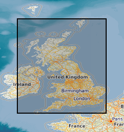
This layer of the map based index (GeoIndex) shows the location of available Mineral Assessment Reports, the information for the index has been taken from the BGS UK Sand and Gravel Database. Each report studied the sand and gravel resources of an area of between one hundred and two hundred square kilometres. This layer shows individual polygons of the geographical areas covered by each report. Selecting the individual polygons via the map based index (GeoIndex) application gives details of the corresponding report title, number, author(s), subtitle and the date report was first published. The Department of the Environment commissioned this Report series from the British Geological Survey.
-
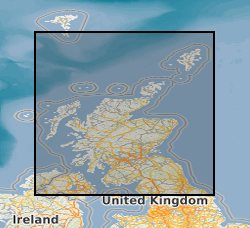
The dataset describes the potential of bedrock aquifers across Scotland to sustain various levels of borehole water supply, and the dominant groundwater flow type in each aquifer. There are five aquifer productivity classes: very high, high, moderate, low and very low, and three groundwater flow categories: significant intergranular flow; mixed fracture/intergranular flow; and fracture flow. The dataset is a tool to indicate the location and productivity of bedrock aquifers across Scotland. It may have several uses, including in policy analysis and development; to prioritise aquifer and site investigations; to inform planning decisions; and to improve awareness of groundwater in general. The complexity and heterogeneity of geological formations means that the dataset is only a guide. It is designed to be used at a scale of 1:100,000, and not to assess aquifer conditions at a single point. Latest version: Bedrock aquifer productivity Scotland version 2
-

The dataset describes the relative vulnerability of groundwater to contamination across Scotland, by means of five relative classes ranging from 1 (lowest vulnerability) to 5 (highest vulnerability). The dataset is a screening tool that can be used to show the relative threat to groundwater quality from contamination across Scotland. It can provide guidance on the vulnerability of groundwater at a regional scale, highlighting areas at comparatively higher risk of groundwater contamination, and can help indicate the degree of specific site investigation required for a new development or activity. It is designed to be used at a scale of 1:100,000 and should be regarded as a tool to aid groundwater risk assessment rather than a complete solution. Latest version: Groundwater Vulnerability Scotland version 2
-

The dataset describes the potential of superficial deposit aquifers across Scotland to sustain various levels of borehole water supply, based on four productivity classes: high; moderate to high; moderate; and a category to signify that a deposit is 'not a significant aquifer'. All superficial deposits aquifers in Scotland are assumed to have primarily intergranular groundwater flow. The dataset is a tool to indicate the location and productivity of superficial deposit aquifers across Scotland. It may have several uses, including in policy analysis and development; to prioritise aquifer and site investigations; to inform planning decisions; and to improve awareness of groundwater in general. The complexity and heterogeneity of geological formations means that the dataset is only a guide. It is designed to be used at a scale of 1:100,000, and not to assess aquifer conditions at a single point. Latest version : Superficial Aquifer Productivity Scotland version 2